Review runway and apron data
Connect pavement information and surveys by operational area, with access to the source of available records.

Organize runway, apron and buried utility information in a georeferenced dataset to plan interventions across airport infrastructure.
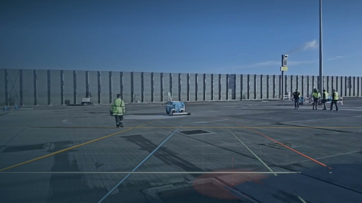
Connect pavement information and surveys by operational area, with access to the source of available records.
Overlay the proposed works area on drainage and other buried utility records. Identify where information needs confirmation before defining an intervention.
Share the same view with engineering and operations teams to discuss priorities, checks and work sequences.
To plan apron works, the team reviews pavement data and compares the works boundary with drainage and utility records.
Drawings, utility records and prior surveys can be assessed. Their quality and coverage help determine what additional fieldwork is required.