Bring scattered records together
Combine utility records, construction drawings and pavement data while preserving each dataset's source and coverage.

Connect municipal records, field data and utility information in a shared geographic view to coordinate works and plan urban infrastructure.
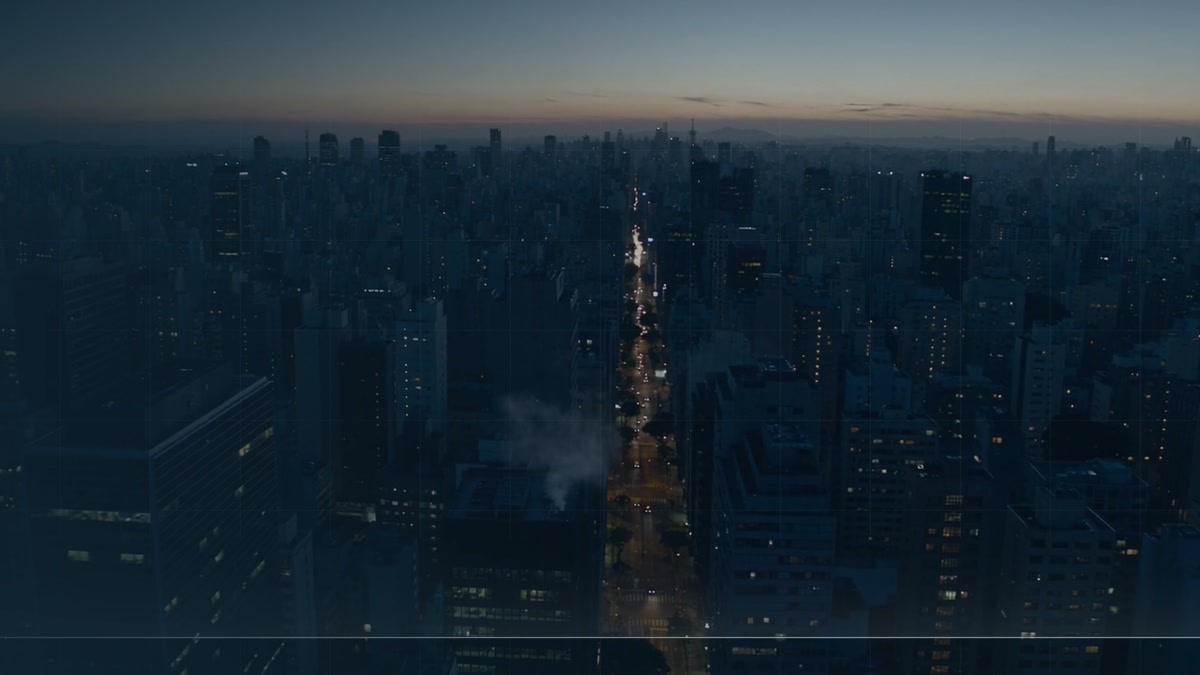
Combine utility records, construction drawings and pavement data while preserving each dataset's source and coverage.
Compare planned works with recorded networks and assets. Give planning teams a common reference for working with infrastructure operators.
Organize subsurface data in GIS layers that can feed urban digital models and be updated as new records become available.
When planning an avenue upgrade, the municipality overlays the project area with drainage and utility records to coordinate with network operators.
It shows how surface works relate to buried networks. That view helps teams identify information gaps and prioritize checks before construction.