Bring records together
Connect drawings, construction records and surveys in a georeferenced dataset. Keep the source of each record visible so teams can distinguish documentation from field observations.

Bring utility records and field data into one map to plan maintenance, expansion and works across water, gas, power and telecom networks.
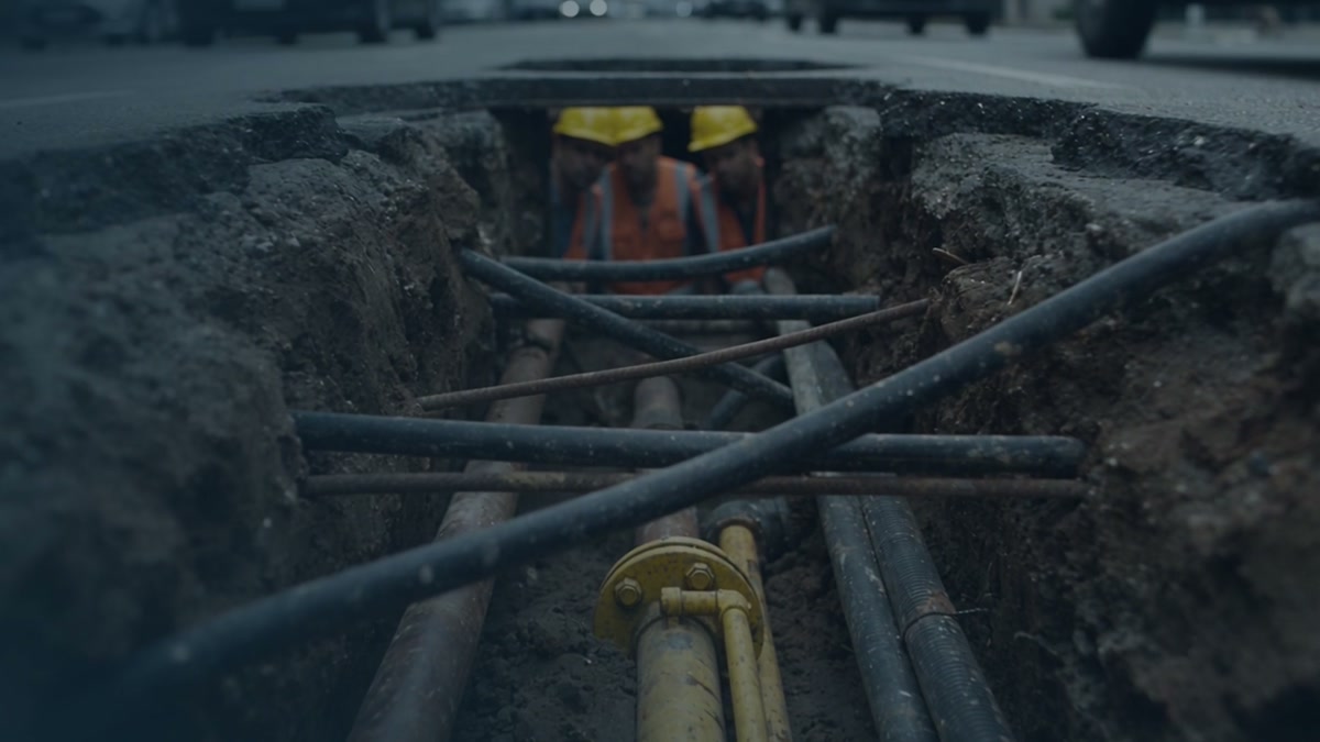
Connect drawings, construction records and surveys in a georeferenced dataset. Keep the source of each record visible so teams can distinguish documentation from field observations.
Compare the planned corridor with recorded assets. Use map layers to locate crossings and prioritize checks where information is incomplete.
Structure records for use in the GIS platform and integration with engineering workflows, according to the agreed project scope.
Before extending a water network, a team reviews existing records, checks crossings along the planned route and prioritizes where to verify depth and position in the field.
Yes. First assess their formats, coverage and quality. Complementary surveys can help fill gaps in specific sections.